hydrography
what is it all about?
Hydrography is the branch of applied sciences which deals with the measurement and description of the physical features of oceans, seas, coastal areas, lakes and rivers, as well as with the prediction of their change over time, for the primary purpose of safety of navigation and in support of all other marine activities, including economic development, security and defence, scientific research, and environmental protection.
preamble
Over the past decades, transportation in Nigeria is predominantly by road, air and slightly rail systems which has caused a lot of pressure on our roadways leading to their early damage. The road network bears the brunt of the majority of all passenger and freight traffic and reaches most communities, and is classified under three categories of trunk roads, urban roads, and feeder roads. In the case where access roads exist, due to the deplorable nature of the roads, cars find it difficult to get to the hinterland to bring in farm produce to the cities with high population density. We are fortunate to have 2 major rivers running across the width of the country flowing south, the River Niger and Benue with a confluence at Lokoja, aside other large bodies of water around the country.
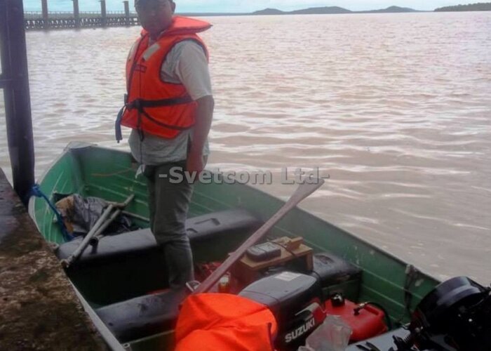
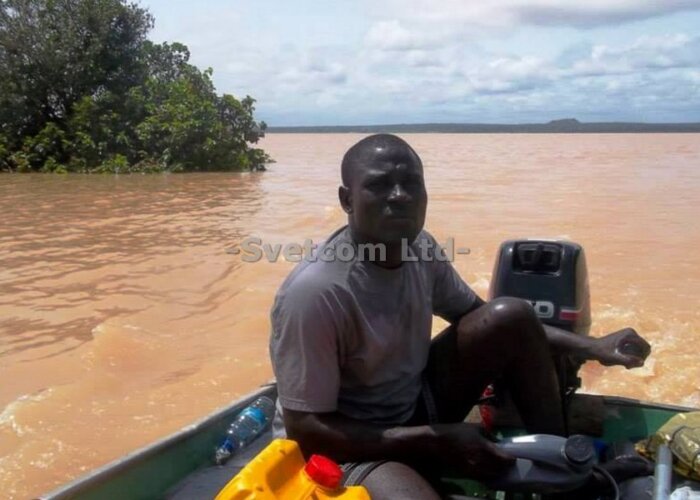
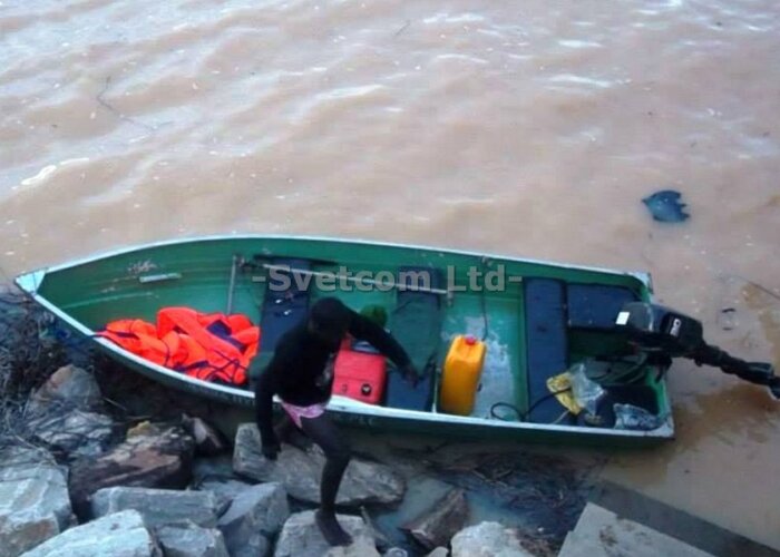
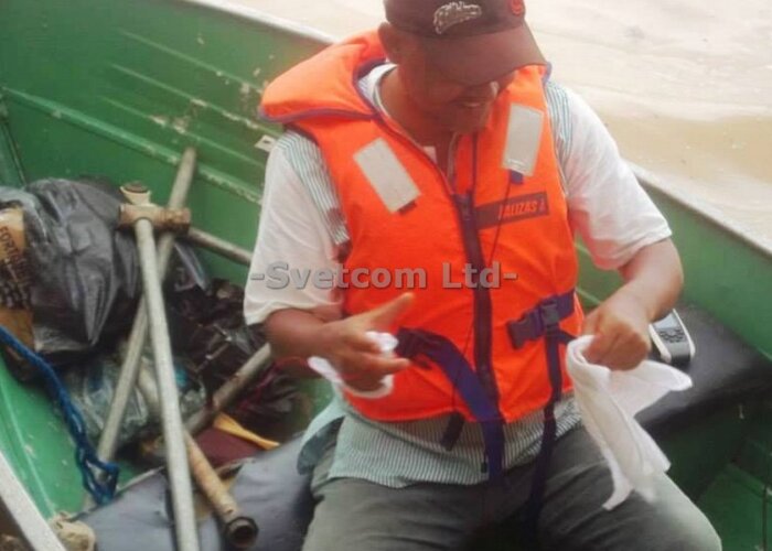
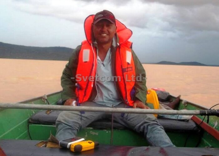
Most of these rivers have dams across them e.g. Kainji dam, Jebba dam, Shiroro dam in Niger State, Mambilla dam in Taraba State, Tiga dam in Kano State, Usuma dam in Abuja amongst others. These were primarily built to increase the amount of water available for generating hydroelectric power and also to provide water for human consumption, for irrigating arid and semi-arid lands, or for use in industrial processes. They serve as control mechanisms to reduce peak discharge of floodwater downstream and lastly to increase the depth of water in a river in order to improve navigation , allowing barges and ships to travel.
why is it important?
Nigeria, being blessed with two main rivers traversing the width of the country asides other bodies of water around the country, also has inland waterways and ports which are required to be navigable all year round. Along these rivers and the coastal communities, people depend on the use of these water bodies for their livelihood and business activities. Due to the increase of population living in the coastal region and along the banks of rivers, there is increase of activities that discharge different elements into them. These sediments build up on the river bed/ dam floor, reducing the amount of water that can be stored or preventing large vessels from passing. Silting also occurs over time as the dam reservoir serves as the storage point of all inflows of silt carrying water after rainstorms. The variation in the riverbed profile will eventually affect maritime transportation along these channels. The safety of passenger and cargo vessels along these waterways will be affected by the nature of the water bodies, their depths and what is below the surface of the water.
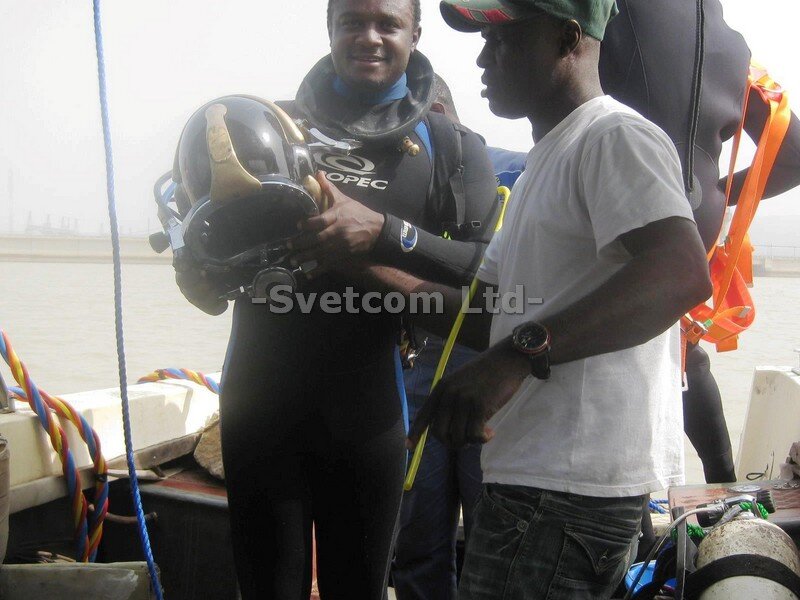
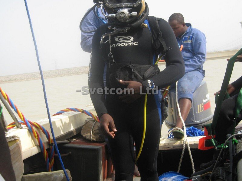
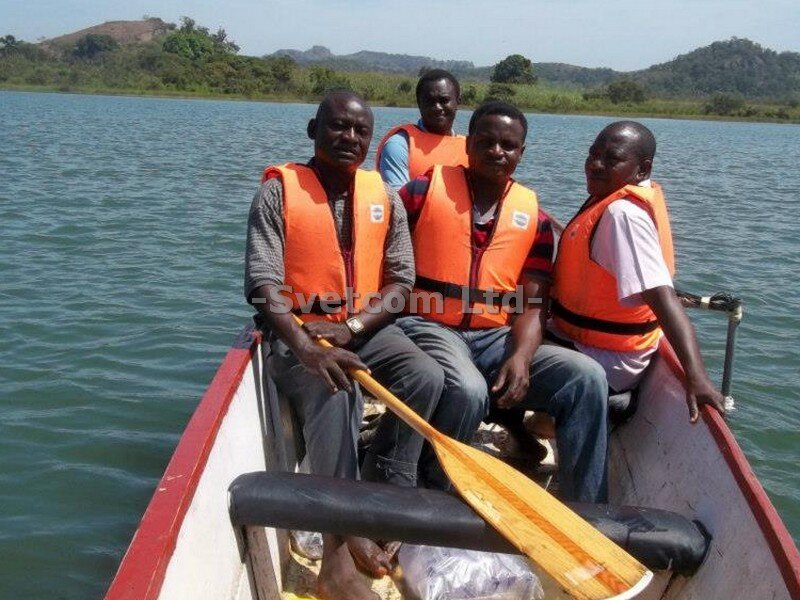
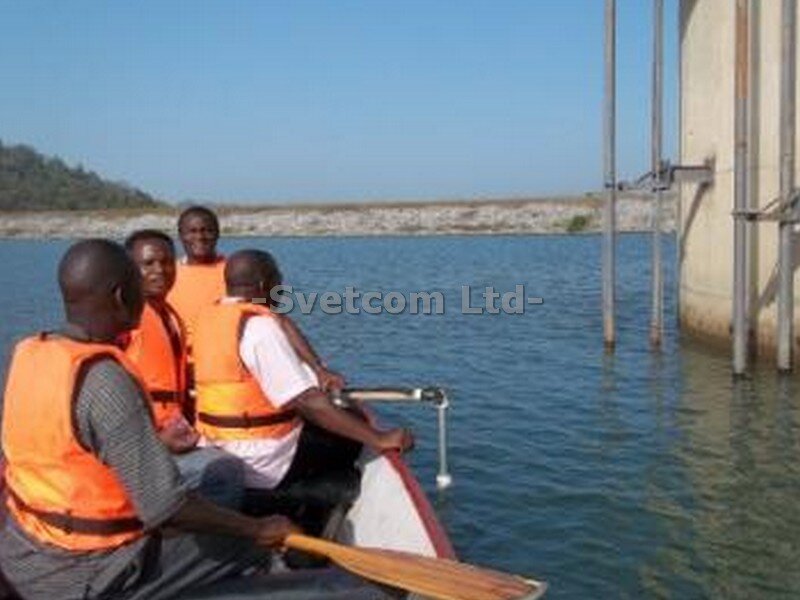
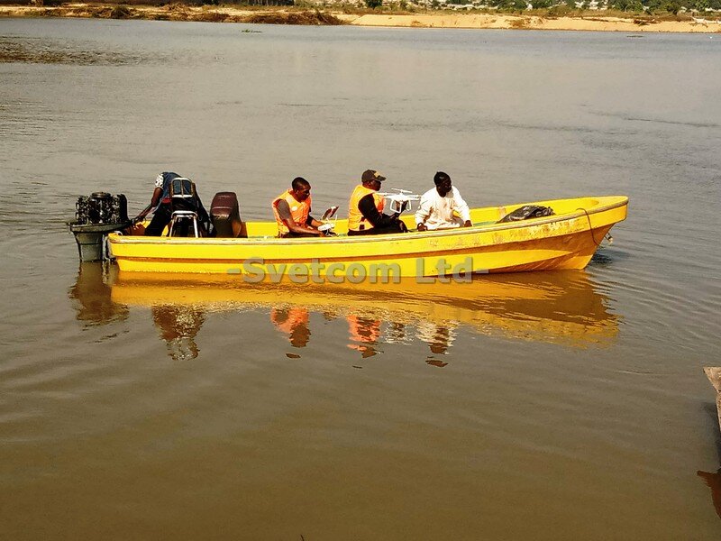
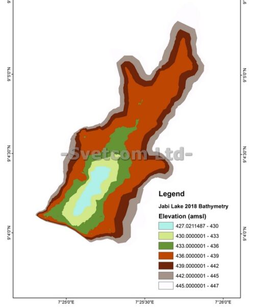
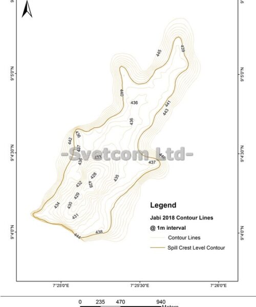
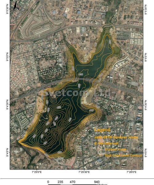
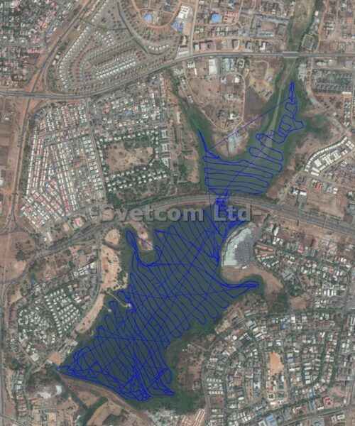
Bathymetric surveys are carried out to know the rate of sediment build, ascertain areas in need of dredging, permit control of floodwater during the heavy rainy season and prevent flooding of areas downstream of these dams. The availability of marine transportation ferrying cargo into the hinterlands via inland ports will greatly promote commercial activities and even the development of the rural communities along the riverbanks and ports. It will also lower the cost of exporting raw materials or movement of manufactured goods upstream. Hydrographic surveys on cm level accuracy help one to know the depth of the Port/rivers and one can easily determine where dredging should take place or if dredging is required at dams and reservoirs. Upon conclusion of the survey, data is collated and analyzed using GIS tools and other software into a comprehensive report.
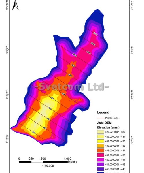
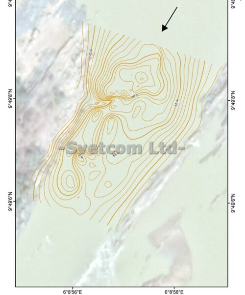
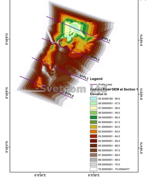
Take, for instance, DEM (digital elevation model) tiles are acquired through remote sensing, but GIS software (such as QGIS or ArcGIS) is used to analyze it and get results which could be riverbed topography, sediment buildup patterns, etc. Based on the above, digital elevation models as applied to the river bed can be seen as fuel for GIS. It provides data that we use a GIS (Geographic Information System) to analyze. digital map data are only one of many types of data that a GIS can work with. A GIS can analyze spreadsheet data, it can analyze vector data, and many others. That said, remotely sensed data is an invaluable source of data in the GIS. The report is forwarded to the client to help in decision making, policy formulation, and corrective action.
mission
To focus on contributing to the sustainability of the earth’s resources via the use of environmentally friendly solutions from renewable energies as a decisive step towards countering climate change and ensuring a future worth living for our children and future generations.
vision
To develop a reputation in the renewable energy industry as a trusted and reliable partner , fully committed to meeting of our customer’s energy requirements. With sound work ethic and morals to maintain our customer’s long-term trust and support.
values
- Transparency
- Honesty
- Accountablity